Though I've had the pleasure of climbing to the crest of the Jura mountains from the Swiss Plateau a few times now, only last week did I finally manage to tag the summit of La Dole. Residents of Geneva, Lausanne, Nyon and Yverdon can instantly pick out La Dole on a clear day by 1) the radar on the summit, and 2) the massive rock face just below the summit. I started from La Rippe on the FR/CH border and ended my trip in St Cergue so that I would achieve some mille feuille from the amazing bakery there. If you've never partaken of this particular pastry before, rest assured it's definitely worth at least 4500 ft of vertical in 11 miles.

La Barillete tower just below La Dole from the Swiss Plateau. La Rippe was about as close as I could get to the climb via bus.
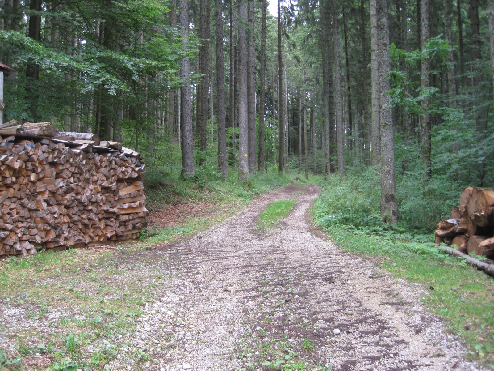
Although clearly marked on the Swiss topo map website, the route up to the crest was a confusing jumble of roads and singletrack that never seemed to fully commit to anything. If I did this route again I would totally ignore the map and just navigate by feel. Up is the way to go.

Chalet la Dole just below the Crest. Almost the entire crest of the Swiss Jura's is cow pasture. Great views, not so great smells. The best time for running it is sometime after the Crocus have started coming up and before the cows return to the mountains for the summer.

From Chalet la Dole the route up to the crest
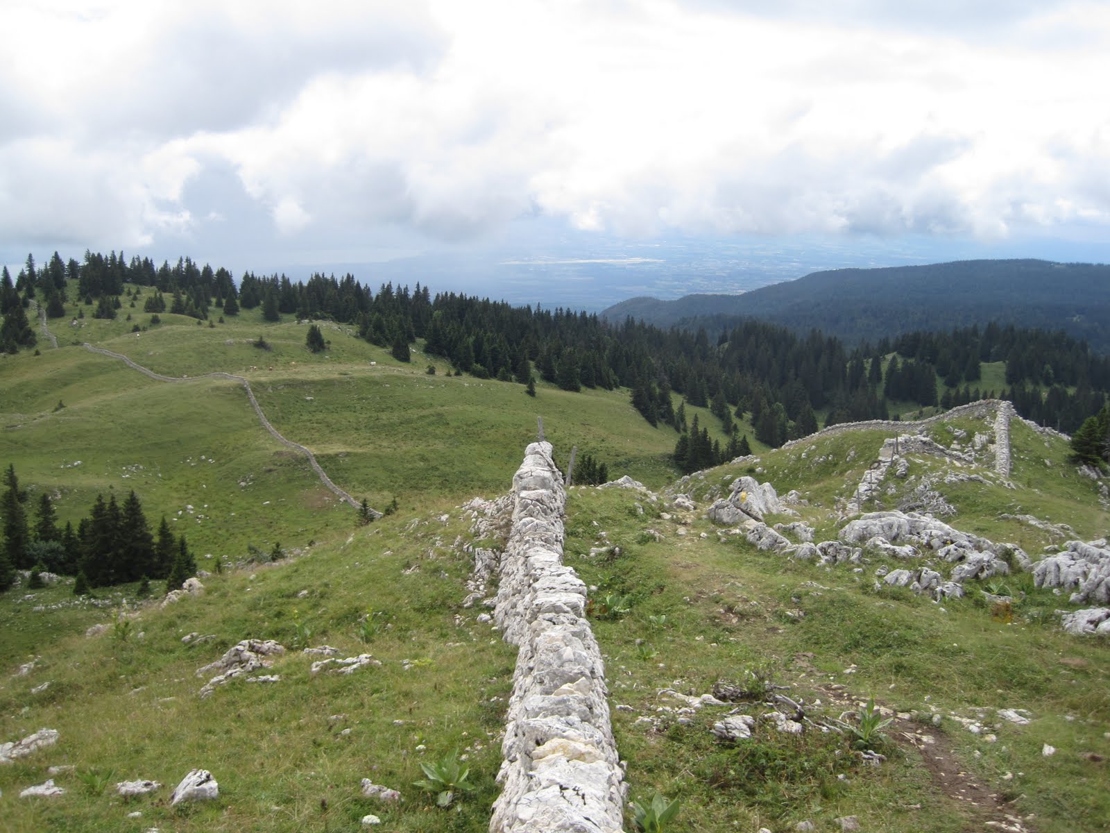
Amazing rock work on the Crest of the Juras

The signature radar station on the summit of La Dole

"Trail" on the Jura Crest heading north from La Dole down towards St Cergue

La Dole's signature rock face

Obligatory Swiss Cow photo.

The days effort (in purple). Click to enlarge. 4500 ft of positive vertical in 11 miles. The route started in La Rippe.


No comments:
Post a Comment