Married at the Mac: 30 miles of Mud and Love
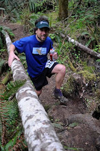
A push onto the Nettleton Davies ridge, a beautiful drop down through old growth Douglas Firs and a little grunt up to the first aid station at Lewisburg Saddle. I thought I knew this course like clockwork, but a quick glance down to my watch cast some doubt. “Jesse I have good news and I have bad news. The bad news is that we’re ten minutes behind our splits, the good news is that I’m running to my wedding and its less than 12 miles away”. We turned up the tempo a bit (relatively speaking, that is) and dropped down into the maze for some good muddy fun. By this time it was clear that my best-running-man, Jesse, was working hard only to fall behind slowly. Not his fault. Someone, somewhere, had decided that 11 am would be a good time to meet on Dimple to get married. April and her bridesmaids had taken the early start and were already well on their way. Friends and family from all over the West Coast and beyond were hiking into the ceremony and I was happy just to be distracted from pre-wedding nerves by our splits. I tried to strike a good balance between being fashionably late to my own wedding and sacrificing my buddy to the mud and salt gods but I’m not so sure I was successful. When we got to Dimple Hill, Jesse, having not complained one bit all morning long, quickly found a chair.

The Groom (Craig) and best running man Jesse make their way through the maze ...

... while the bridesmaids (Rob and John) and the wedding ministers and Mac RDs (Ken and Scott) await.

Katie, April, Lauren and Liz (left to right) arrive at Dimple.
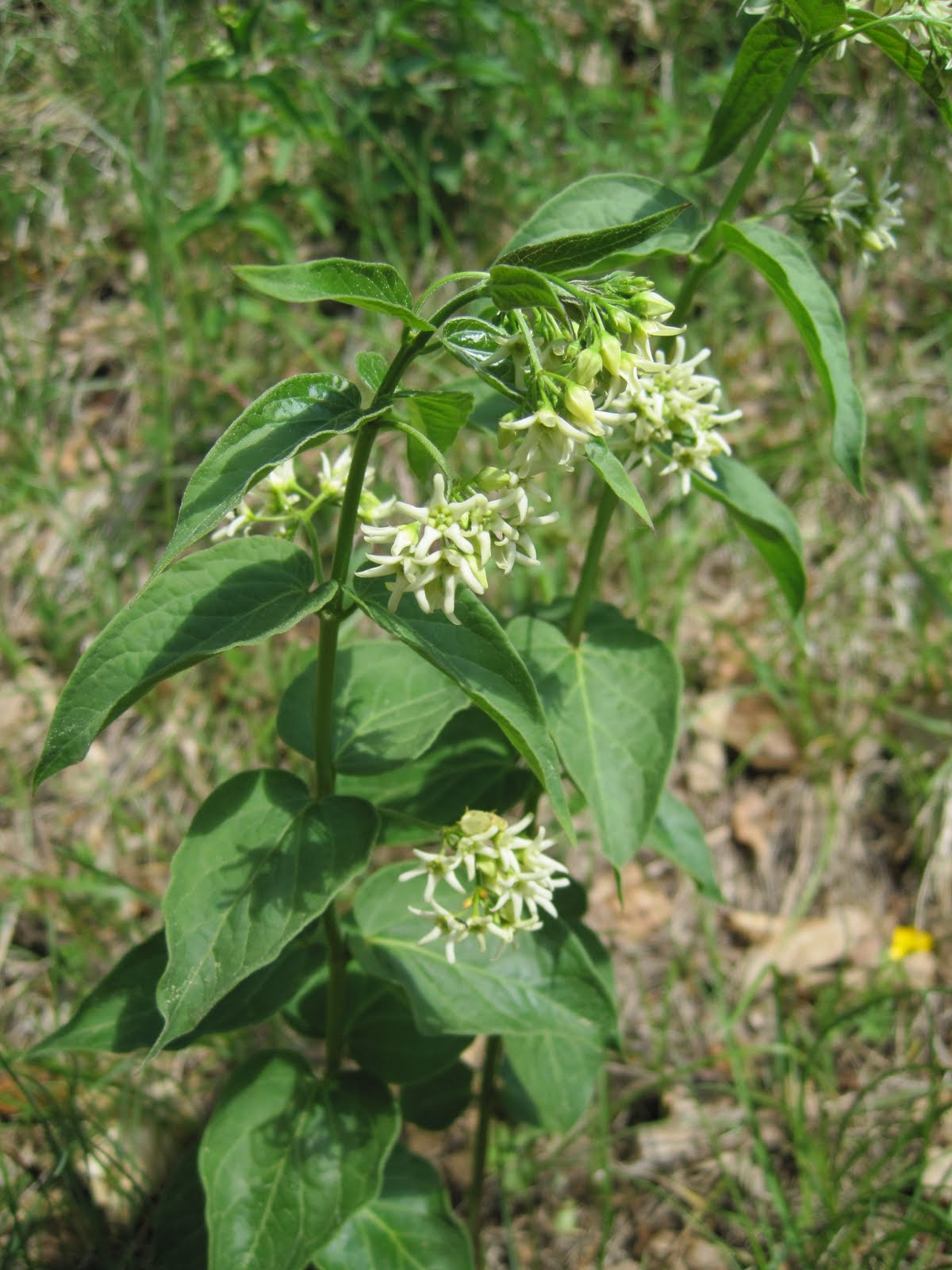
Dimple Hill. April and I grew up as ultrarunners in the McDonald Forest Corvallis , Oregon
Once at the top things became a blur. Family and friends I hadn’t seen in years stood in a giant line down the Face trail and all I could think was ‘Single file? Gosh that’s a long way down, doesn’t anybody here know about bonus miles?’. I made my down through the tunnel of fir boughs and April followed shortly. We made our vows on trail in the shadow of Mary’s Peak, the largest in the Oregon Coast Range

Yep, the ceremony is way down there.


The happy couple poses for a quick post ceremony picture ... (photo by Scobel Wiggins)

... and a quick pit stop in the consummation tent. You wouldn't believe the things that this woman put in there.
We vowed, we exchanged rings (April had eaten too many S-Caps), and we kissed. We ran the rest of the day together (part of my vows was to not drop April after Dimple). It was beautiful. Amazingly the whole thing just worked. As we rounded back through the Chip Ross prairie along came Jesse. He had spent 45 minutes in a chair wrapped in a space blanket and was recommended not to continue by the folks at the Dimple Hill Aid Station before getting up to gut out the rest of his first 50km. Respect! Sorry for pushing the pace so much early on, I was late for a wedding.

As we dropped back towards the Forestry Club Cabin a flood of memories came rushing over me. The last 5 years with April have been the happiest times of my life: the full moon snow camping on Mary’s peak, the time she lent me her hairties to fix Ziplocs bags over my hands on a hypothermic shoulder season descent of Mt Washington, the 3 am proposal on the American River 3am anyways? We do. Rolling singletrack drew the finish line nearer, but this didn’t feel the end of anything at all. Today was the beginning of something great.

On the descent towards Forestry Club Cabin.

2 hours later at Tyee winery.
McDonald Forest 50km wedding, Oregon ultramarathon wedding