
Garmin says: 25 mi w/ 5000 ft of vertical. Sundays effort in Orange. The route started in Biere, climbed up to Mont de Biere, Mt Tendre, traversed over to Col del Mollendruz and Haut de Mollendruz. Garmin died on Dent de Vaulion, but I had that track from a previous effort. The photos shows tracks from 4 runs. I hope to connect footsteps over as much of the Jura Crest as possible.

Good thing I know what 'zone de tir' is.

Daphne in bloom. Its quite similar to the cultivated ornamental type we grow in the US. Equally fragrant, but with deep purple flowers.

Euphorbia near 700 m

Petasites growing along the roadside, very similar to way it does in Western US


On the climb up Monts de Biere from Biere

Crocus just beginning along the Jura Crest


Rotten snowfields


On the summit of Mt Tendre

Looking North along the Jura Crest from Mt Tendre, from middle to left: Haut de Mollendruz, Dent de Vaulion and Mont d'Or (in France)


Postholing through rotten snow was the name of the game today

Icy back roads

Beautiful back roads

Stone wall near Col de Mollendruz
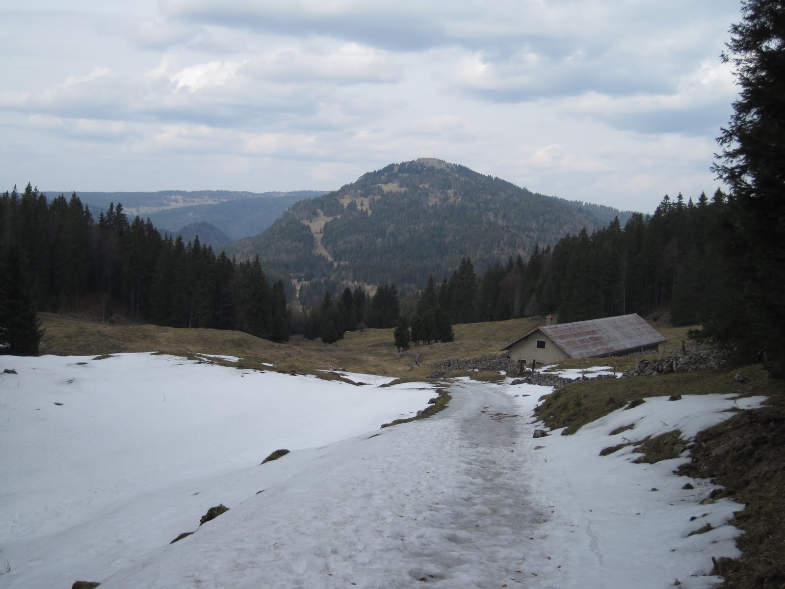
Nearing Dent de Vaulion, note the switchbacks

I have no idea what this is: Food storage, old military supply bunker?

Beginning the wonderful ascent up the Southern face of Dent de Vaulion

Looking back down Dent de Vaulion towards Lac de Joux


Summit of Dent de Vaulion

Looking North towards Le Suchet and Chasseron.


The border town of Vallorbe was the days destination

Crossing the Orbe into town


No comments:
Post a Comment