9/20/10

Montreux to Rochers de Naye: French lessons learned


My one and only shot of the day about 2/3 of the way up the initial 5400 ft climb into the Vaud Alps

            Since I've moved to Switzerland my French is coming along quite slowly.  There seem to some words and phrases that I'll really have trouble picking up and others that I see just once and will forever know the meaning of.  In the former category, 'poussez' and 'tirez' are on every door here, but I doubt I'll ever have much more than a 50-50 chance of opening one in the proper direction.  As an example of the latter:  'san issue' on a street sign on my descent to Montreux, the rough translation of which can be approximated by 'there are giant cows in this direction which have very large and sharp horns grazing in an impossibly steep field which is mined with an unbelievable density of cow patties and surrounded by electrified fence on every side.  If you ever manage escape past the giant alpha minotaur cow alive you will be faced with an interminable purposeless sidehill traverse the likes of which you are completely unprepared for salt-wise, water-wise and food-wise.'
            Ok that might not be the literal translation of 'san issue' but it's the one forever etched into my mind.  A little context might serve.  On my second weekend in LausanneSwitzerland I finally made it out the mountains for a little exploring.  Despite the furnicular train to the top, I elected to go by foot from Montreux to Rochers-de-Naye (Rocks of Naye).  This route began with an uninterrupted 1650m (5400 ft) ascent.  Perhaps that bears repeating.  This route began with an uninterrupted 1650m (5400 ft) ascent.  By Murphy's law of international adventure running my camera batter died 10 minutes above treeline, and I managed one and only photo of the route. 

            Gasping for breath alongside hordes of tourists who walked 50m to the summit, I gazed off into a seemingly interminable jumble of glaciers, meadows, valleys and forests:  unimaginable adventure and places to explore.  The mountains beckoned me to stay for a few hours more and from my windswept and sunkissed vantage point I could see a pretty good route into the next valley or maybe even the one thereafter.  Already I had spent and hour above treeline, something I hadn't quite expected and plus there was an espresso machine in the train station 10 minutes down from the summit.  What I hadn't counted on was that 'next valley over' in the Vaud Alps pretty much guarantees a descent/ascent of at least 2000 ft.  I also hadn't realized from my vantage point that I'd have to / want to summit the Dent de Jaman as well (note:  the below pictures I just grabbed from the web since my camera batter died).  After summiting the Dent de Jaman I made my way down the Col de Jaman (the pass down and to the right of the above picture) and that's where I had a few slight translation/navigational issues on the descent through fields and small Swiss hillside villages on the way back to Montreux.


The Dent du Jaman from Rochers-de-Naye.  Parts of the climb were hand over foot.  Furnicular train is on the left.


            I really enjoyed my first venture into the Vaud Alps, especially since so many options seemed available for future runs.  Sunday's run by the numbers.

Route:  Montreux to Rochers de Naye and loop to Dent de Jaman, Col de Jaman, initally following the race course (http://www.montreuxlesrochersdenaye.ch/Default.aspx), the map of which I definetely left at home
Distance:  45 km
Cumulative Elevation gain:  7000 ft
Time spent hand over foot or clinging to fixed ropes: 30 min
Initial ascent:  1650 m in 18 km (5400 ft over 12 miles), slightly less than 10% grade
Final descent: about 1.5 hours, including about 20 mins of flats


The famous statue of Freddie Mercury in Montreux marked the end of my run and the beginning of a hunger I haven't felt since Waldo.


8/26/10

Where's Waldo race report


Where's Waldo race report:  terrible, hard, beautiful, brutal, happy to have just finished.  I had a rough go of it.  It was one of those days where I was just happy to cross the finish line.  Maybe riding 690 in 12 days a week before a 100km is not such a good idea.


April putting on sunscreen in the predawn darkness


Diamond Peak looking South from Fuji Mtn


April and I near the summit of Fuji Mtn


Meadow near Gold Lake


Mid-race refueling


On the way out of Twins AS #1

Interminable climbs near Twins AS #1


Near the end of the climb over the shoulder of the Twins


On the way out of Twins AS #2


On the climb up Maiden Peak


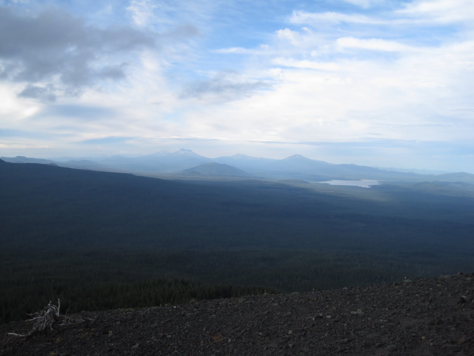
View of the 3 Sisters to the North from Maiden Peak


Leap of Faith trail marking the start of the descent back to Williamette Pass and the finish line.

8/19/10

Bike Tour: I made it!


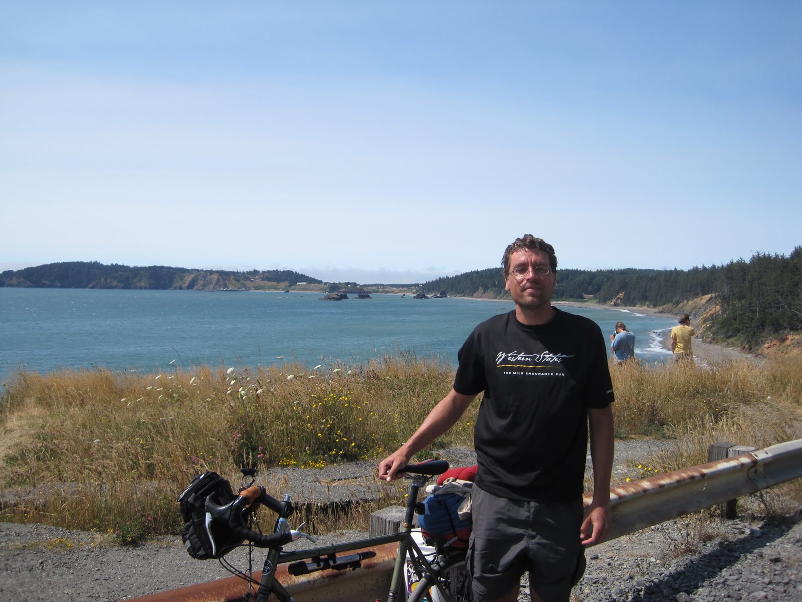
I made it San Francisco!  What an amazing bike trip.  Stopped a couple of hundred miles short in SF rather than San Diego due to:  Where's Waldo on 8/22, school stuff keeping me a few days in Corvallis, lots to do and see along the way, achy knee towards the end.  Anyways it was very fun.  Over 12 days I biked 790 miles from Corvallis, OR to San Francisco, and ran 61 miles, almost solely on trails.  I was pretty surprised at how liberating and fun bike touring is.  I hope to do the whole coast some time. In the mean time some highlights ...


The route i took to the coast was very hilly and involved 20 straight miles with no cars or stop signs


Sunshine and great views outside of Brookings, OR.


Fantastic descent of the Humbug Mtn trail


Many odd and dangerous roadside attractions.


Cape Ferrello trail in Samuel Boardmann State Park

Crossing the border by bike.


Stealth site on the Smith River, note the use of rocks as tie-offs.


Fantastic trails in Prarie Creek Redwoods Park


Reconstructed Native Village in Humboldt.
Lost Coast Brewery taster set.


Amazing Victorians in Ferndale


300 foot redwoods on Ave of the Giants


Fantastic biking in Ave of the Giants as well


Roadside refueling stop


Hwy 1 in Mendocino County


Yellow Sand Verbena


Pygmy Cypress Forest in Mendocino


Lots and lots of food


I broke my chain and had to wait an hour or so for someone with the tool I needed


Some pretty steep switchbacks in S Mendocino County


Crazy Sonoma hills


Barefoot run on Bodega Dunes


Recovery of my lost Scoop Away lid with some backtracking


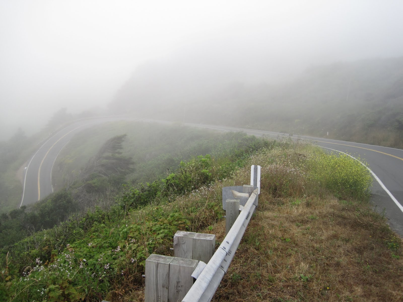
A final triumphant climb through the fog up Mt Tam


Finally crossing over the Golden Gate.  Mission accomplished.


View Larger Map